21 HUMMOCK LN
Owner Information
FEDERICI MARTIN
21 HUMMOCK LN
DUXBURY, MA 02332


Property Details
21 HUMMOCK LN is classified as a Single Family Residential (Colonial).
The primary structure on this property was built in 2011. There are 2,834ft2 of built area within this property. There is 2,028ft2 of residential/living space within this property. This property is listed as having 6 rooms.
21 HUMMOCK LN is valued at $602,500. The land is valued at $264,900 and the structures are valued at $337,600.
This property is in Zone RC. Confirm with local Zoning Board authorities to ensure there are no overlays or other easements on this property.
The most recent deed for 21 HUMMOCK LN is recorded at the local registrar in Book LCC, Page 68585. 21 HUMMOCK LN was last sold on Monday, November 28, 1983 for $45,000.
Assessment data from fiscal year 2021.
Flood Data
This property is completely within the AE Zone (within floodplain).
The base flood elevation for this flood zone is 10 feet.
This information is sourced from the FEMA National Flood Hazard Layer. See our full disclamer.
Broadband Internet Providers
| Provider | Type | Bandwidth (mbps) | |
|---|---|---|---|
| Comcast | Cable | 1000 | 35 |
| Viasat Inc | Satellite | 100 | 3 |
| Verizon New England Inc. | DSL | 5 | 0 |
| HughesNet | Satellite | 25 | 3 |
| VSAT Systems, LLC. | Satellite | 2 | 1 |
| GCI Communication Corp. | Satellite | 0 | 0 |
| Verizon New England Inc. | Fiber | 940 | 880 |
Broadband service provider data from December 2020.
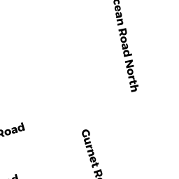
Adjacent Properties
- 52 OCEAN RD N
Single Family Residential owned by FISHER SHEILA M TT - 17 HUMMOCK LN
Single Family Residential owned by CARSON BRUCE C - 223 GURNET RD
Single Family Residential owned by SULLIVAN ROBERT L TT - 71 OCEAN RD N
Single Family Residential owned by MACKEY ALISON - 60 OCEAN RD N
Single Family Residential owned by LEONE PAUL A II - 54 OCEAN RD N
Single Family Residential owned by SACK BRIAN P & AMY L